| Statistic | Reportedincidents | /100k people | Crestwood/100k people | Kentucky/100k people | National/100k people |
| Total crime | 0 | n/a (estimate) | 578 (estimate) | 1,776 | 2,281 |
| Murder | n/a | n/a | n/a | 6.1 | 5.7 |
| Rape | n/a | n/a | n/a | 33.5 | 38.0 |
| Robbery | n/a | n/a | n/a | 39.2 | 66.5 |
| Assault | n/a | n/a | n/a | 145.6 | 264.1 |
| Violent crime | n/a | n/a (estimate) | 73 (estimate) | 224 | 364 |
| Burglary | n/a | n/a | n/a | 232.4 | 250.7 |
| Theft | n/a | n/a | n/a | 1,035.0 | 1,347.2 |
| Vehicle theft | n/a | n/a | n/a | 284.6 | 318.7 |
| Property crime | n/a | n/a (estimate) | 505 (estimate) | 1,552 | 1,917 |

| Item | Crestwood | Kentucky | National |
| Law enforcement employees (officers & civilians) | n/a | 5,359 | 558,732 |
| Police officers & civilians /1000 residents | n/a | 2.8 | 3.3 |
| State | Total offenders | Kentucky /100K | National /100K |
| Kentucky | 9,099 | 222 | 266 |
| City | Population | Violent crime/100k people | Property crime/100k people | Total crime/100k people |
| Pewee Valley, KY | 1,553 | 0 | 0 | 0 |
| Woodlawn Park, KY | 766 | 0 | 0 | 0 |
| Meadow Vale, KY | 791 | 0 | 139 | 139 |
| Rolling Hills, KY | 1,009 | 31 | 218 | 249 |
| Beechwood Village, KY | 1,510 | 31 | 218 | 249 |
| Langdon Place, KY | 1,020 | 31 | 218 | 249 |
| Barbourmeade, KY | 1,256 | 31 | 218 | 249 |
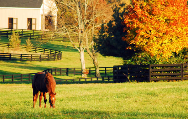
| Crestwood, KY | 5,034 | 73 | 505 | 578 |
| City | Population | Violent crime/100k people | Property crime/100k people | Total crime/100k people |
| Polson, MT | 5,033 | 868 | 3,882 | 4,750 |
| Grafton, WV | 5,035 | 44 | 531 | 575 |
| Swoyersville, PA | 5,031 | 80 | 498 | 577 |
| Archer Lodge, NC | 5,037 | 127 | 672 | 799 |
| Olyphant, PA | 5,037 | 256 | 1,520 | 1,776 |
| Crestwood, KY | 5,034 | 73 | 505 | 578 |
 Here are the best places to live in Kentucky
 Check out the 10 safest cities in Kentucky
 Most Dangerous Cities In The US
 Safest Cities In The US