| Statistic | Reportedincidents | /100k people | Horseshoe Bend/100k people | Texas/100k people | National/100k people |
| Total crime | 0 | n/a (estimate) | n/a (estimate) | 2,644 | 2,281 |
| Murder | n/a | n/a | n/a | 6.0 | 5.7 |
| Rape | n/a | n/a | n/a | 49.5 | 38.0 |
| Robbery | n/a | n/a | n/a | 68.8 | 66.5 |
| Assault | n/a | n/a | n/a | 281.7 | 264.1 |
| Violent crime | n/a | n/a (estimate) | n/a (estimate) | 406 | 364 |
| Burglary | n/a | n/a | n/a | 303.9 | 250.7 |
| Theft | n/a | n/a | n/a | 1,524.5 | 1,347.2 |
| Vehicle theft | n/a | n/a | n/a | 409.9 | 318.7 |
| Property crime | n/a | n/a (estimate) | n/a (estimate) | 2,238 | 1,917 |

| Item | Horseshoe Bend | Texas | National |
| Law enforcement employees (officers & civilians) | n/a | 46,020 | 558,732 |
| Police officers & civilians /1000 residents | n/a | 3.0 | 3.3 |
| State | Total offenders | Texas /100K | National /100K |
| Texas | 95,281 | 443 | 266 |
| City | Population | Violent crime/100k people | Property crime/100k people | Total crime/100k people |
| Colleyville, TX | 26,766 | 54 | 509 | 563 |
| Flower Mound, TX | 78,854 | 74 | 674 | 748 |
| Coppell, TX | 41,494 | 74 | 1,004 | 1,079 |
| Southlake, TX | 31,684 | 35 | 1,109 | 1,144 |
| University Park, TX | 25,027 | 32 | 1,148 | 1,180 |
| Dalworthington Gardens, TX | 2,192 | 44 | 1,149 | 1,193 |
| Carrollton, TX | 137,319 | 169 | 1,505 | 1,674 |
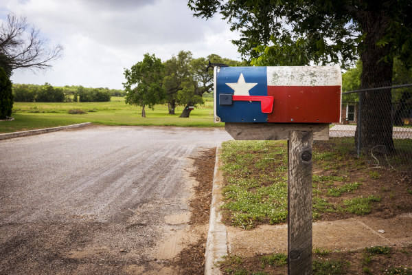
| Horseshoe Bend, TX | 621 | n/a | n/a | n/a |
| City | Population | Violent crime/100k people | Property crime/100k people | Total crime/100k people |
| Powellton, WV | 621 | 322 | 1,445 | 1,767 |
| Lockesburg, AR | 621 | 773 | 2,778 | 3,550 |
| Oconomowoc Lake, WI | 621 | 0 | 169 | 169 |
| Norwich, VT | 621 | 55 | 492 | 546 |
| Smiley, TX | 621 | 609 | 3,355 | 3,964 |
| Horseshoe Bend, TX | 621 | n/a | n/a | n/a |
 Here are the best places to live in Texas
 These are the 10 cheapest cities in Texas
 See the best places to live in Horseshoe Bend
 These are the largest cities in Texas