| Statistic | Reportedincidents | /100k people | Los Osos/100k people | California/100k people | National/100k people |
| Total crime | 0 | n/a (estimate) | 1,925 (estimate) | 2,834 | 2,281 |
| Murder | n/a | n/a | n/a | 5.0 | 5.7 |
| Rape | n/a | n/a | n/a | 36.4 | 38.0 |
| Robbery | n/a | n/a | n/a | 128.3 | 66.5 |
| Assault | n/a | n/a | n/a | 338.6 | 264.1 |
| Violent crime | n/a | n/a (estimate) | 345 (estimate) | 508 | 364 |
| Burglary | n/a | n/a | n/a | 347.4 | 250.7 |
| Theft | n/a | n/a | n/a | 1,466.0 | 1,347.2 |
| Vehicle theft | n/a | n/a | n/a | 512.2 | 318.7 |
| Property crime | n/a | n/a (estimate) | 1,580 (estimate) | 2,326 | 1,917 |

| Item | Los Osos | California | National |
| Law enforcement employees (officers & civilians) | n/a | 51,506 | 558,732 |
| Police officers & civilians /1000 residents | n/a | 3.6 | 3.3 |
| State | Total offenders | California /100K | National /100K |
| California | 79,891 | 232 | 266 |
| City | Population | Violent crime/100k people | Property crime/100k people | Total crime/100k people |
| Avila Beach, CA | 1,455 | 71 | 326 | 398 |
| Los Ranchos, CA | 1,675 | 71 | 326 | 398 |
| Cayucos, CA | 2,228 | 80 | 365 | 445 |
| Edna, CA | 408 | 205 | 940 | 1,145 |
| Morro Bay, CA | 10,592 | 281 | 928 | 1,209 |
| Atascadero, CA | 30,444 | 219 | 1,022 | 1,241 |
| Arroyo Grande, CA | 17,924 | 452 | 1,176 | 1,629 |
| Los Osos, CA | 16,174 | 345 | 1,580 | 1,925 |
| City | Population | Violent crime/100k people | Property crime/100k people | Total crime/100k people |
| Murraysville, NC | 16,174 | 299 | 1,578 | 1,876 |
| Kaukauna, WI | 16,165 | 103 | 777 | 880 |
| Aurora, OH | 16,165 | 40 | 685 | 725 |
| Waxhaw, NC | 16,165 | 60 | 486 | 545 |
| Kings Park, NY | 16,153 | 192 | 888 | 1,080 |
| Los Osos, CA | 16,174 | 345 | 1,580 | 1,925 |
 Here are the best places to live in California
 These are the largest cities in California
 Most Dangerous Cities In The US
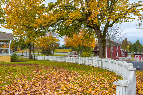 See the best places to live in Los Osos