| Statistic | Reportedincidents | North Industrial Area/100k people | Mobile/100k people | Alabama/100k people | National/100k people |
| Total crime | 8,048 | 781 (estimate) | 3,389 | 2,103 | 2,281 |
| Murder | 33 | n/a | 13.9 | 10.3 | 5.7 |
| Rape | 82 | n/a | 34.5 | 29.6 | 38.0 |
| Robbery | 150 | n/a | 63.2 | 35.9 | 66.5 |
| Assault | 1,876 | n/a | 790.0 | 328.2 | 264.1 |
| Violent crime | 2,141 | 287 (estimate) | 902 | 404 | 364 |
| Burglary | 878 | n/a | 369.7 | 254.7 | 250.7 |
| Theft | 4,451 | n/a | 1,874.3 | 1,239.8 | 1,347.2 |
| Vehicle theft | 578 | n/a | 243.4 | 204.6 | 318.7 |
| Property crime | 5,907 | 494 (estimate) | 2,487 | 1,699 | 1,917 |

| Item | North Industrial Area | Mobile | Alabama |
| Law enforcement employees (officers & civilians) | n/a | 700 | 9,968 |
| Police officers & civilians /1000 residents | n/a | 2.8 | 4.1 |
| State | Total offenders | Alabama /100K | National /100K |
| Alabama | 10,698 | 231 | 266 |
| City | Population | Violent crime/100k people | Property crime/100k people | Total crime/100k people |
| Satsuma, AL | 6,163 | 117 | 835 | 952 |
| Daphne, AL | 26,578 | 49 | 1,149 | 1,198 |
| Creola, AL | 2,119 | 205 | 1,437 | 1,642 |
| Spanish Fort, AL | 8,991 | 119 | 1,693 | 1,812 |
| Saraland, AL | 14,561 | 122 | 2,103 | 2,224 |
| Tillmans Corner, AL | 17,419 | 438 | 1,844 | 2,282 |
| Chickasaw, AL | 5,757 | 497 | 1,987 | 2,484 |
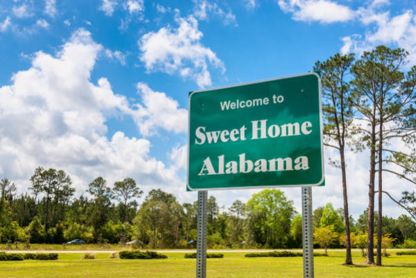
| Mobile, AL | 189,994 | 902 | 2,487 | 3,389 |
| City | Population | Violent crime/100k people | Property crime/100k people | Total crime/100k people |
| Shreveport, LA | 189,890 | 744 | 4,475 | 5,219 |
| Cape Coral, FL | 189,633 | 281 | 1,471 | 1,752 |
| McKinney, TX | 191,197 | 105 | 907 | 1,013 |
| Frisco, TX | 188,387 | 86 | 1,357 | 1,443 |
| Tempe, AZ | 191,607 | 504 | 3,570 | 4,074 |
| Mobile, AL | 189,994 | 902 | 2,487 | 3,389 |
 Here are the best places to live in Alabama
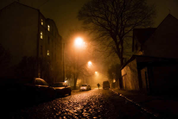 Most Dangerous States In The US
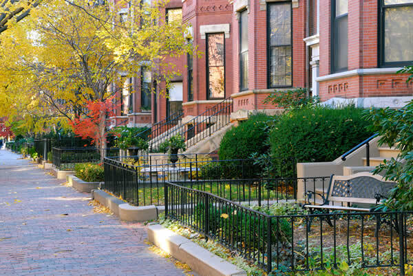 Safest Cities In The US
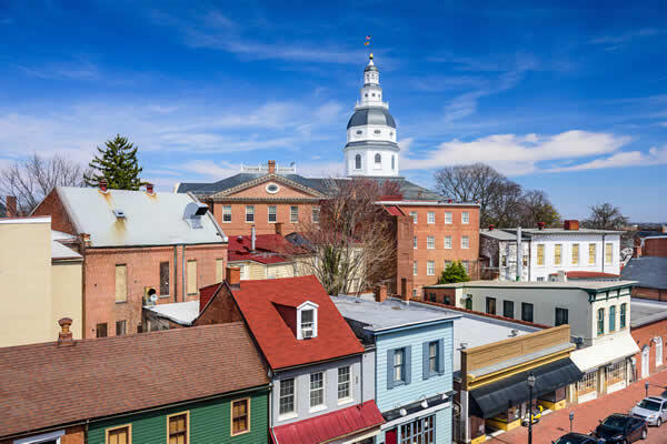 Safest States In The US